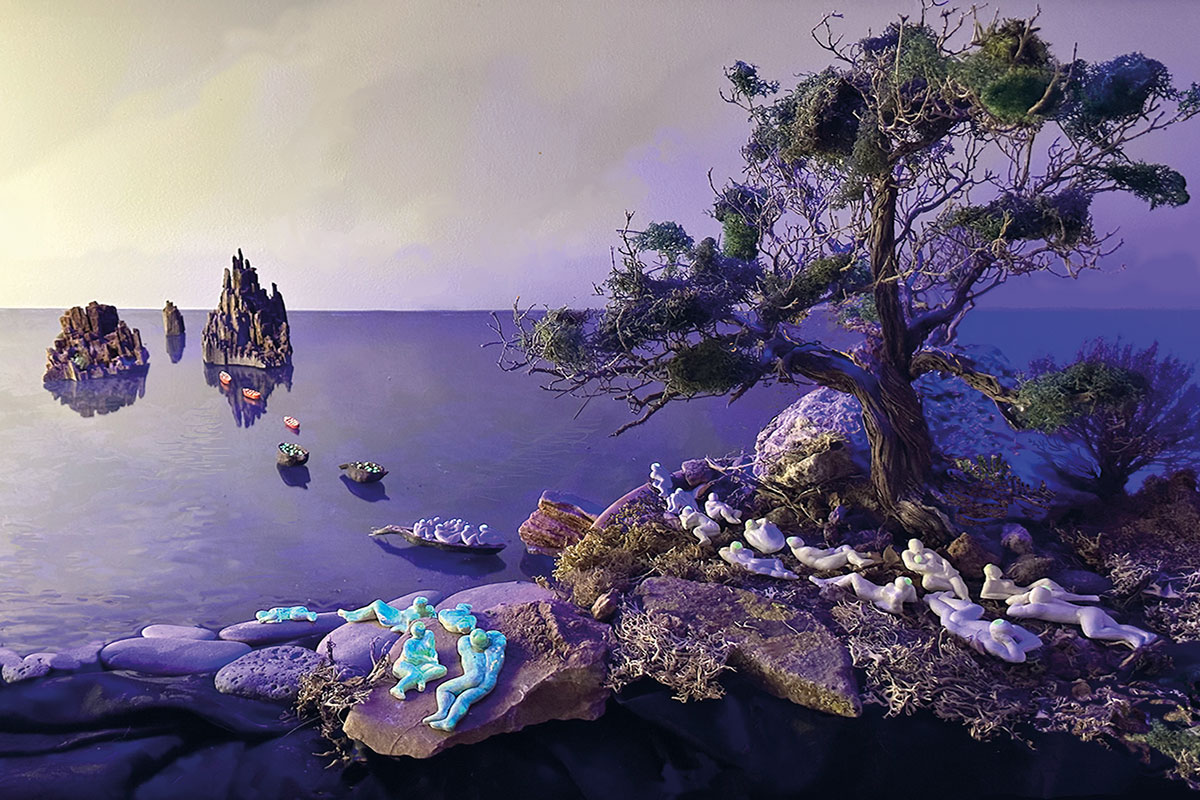
It seems to have been the Welsh naturalist and explorer Alfred R. Wallace who popularised the concept of ecotone in the mid-19th century to describe the interface between two different ecosystems. Changes in the matrix of environmental conditions define an ecotone. The coastline is the ultimate ecotone: everyone understands that marine life and terrestrial life are very different.
This is clear from a distance and on a large scale. Seen up close, the supposed coastline is often more like a sufficiently wide band within which there are very different things (rocky areas, dunes, marshes…) separated by equally different ecotones. As always, scalar changes lead to conceptual changes. In any case, these solutions of ecological continuity, which we call ecotones, do exist and are highly relevant because they involve a tension between systems (in Greek, oikos and tonos mean ‘place’ and ‘tension’, respectively). Interactions and energetic exchanges take place, biodiversity is high… They are stimulating places.
Recent research suggests that around three million years ago, humans appeared in an area of ecotones, where lakes, savannah, and forests meet. An area full of possibilities, at what is now the border between Botswana, Namibia, Zambia, and Zimbabwe. Of course, these borders did not exist then, nor any other. Borders are a recent invention and have nothing to do with ecotones, but they often have some curious similarities in terms of the socio-environmental matrices operating on either side. It is not like moving from sea to land, of course, but there are often striking changes. The question is: have the borders been drawn because of these differences, or are the differences a result of the borders? That is, are the borders sociological ecotones or the artefacts that make them possible?
In 2002, Dutch historian Willem van Schendel coined the term Zomia to describe the vast mountainous region shared by Burma, Thailand, China, Laos, and Vietnam. Ignoring post-colonial borders (and some older ones), seventy million people share diverse cultures and rural lifestyles unregulated by modern states. Their ecotone is hypsometric because their system is the mountain. But no map reflects this reality, because cartography usually represents only the figures of political power. In fact, in this case, borders and sociological ecotones collide without compromise. In this case and in so many others.
Vicent Partal has published an interesting book on this subject (Fronteres, 2022). He shows that borders with milestones, roadblocks, and passport controls are a recent invention, born with the nation-states created by the Peace of Westphalia and exported by revolutionary France at the end of the 18th century. A recent European invention, exported around the world with disastrous enthusiasm by the imperialism of the 19th and 20th centuries. It would not have been possible without the development of scientific cartography, which made it possible to produce accurate geographical representations on a piece of paper. The first clear case was perhaps the magnificent and memorable map of France at 1:86,400, produced during the 18th century by the Cassini family of cartographers through geodetic triangulation, which allowed the decisions of the National Assembly, and later those of Napoleon, to be accurately implemented. That was just two or three centuries ago.
It was enough for us to think of borders today as clear and almost immutable social ecotones. They are not. Throughout the twentieth century, and without leaving their homes, the Karaite Jews of Trakai have been German, Polish, Soviet, Belarusian, or Lithuanian because of shifting borders. They have felt only one thing: Crimean Jewish emigrants. It is true that borders are not ecotones. But in the end they act as such.


