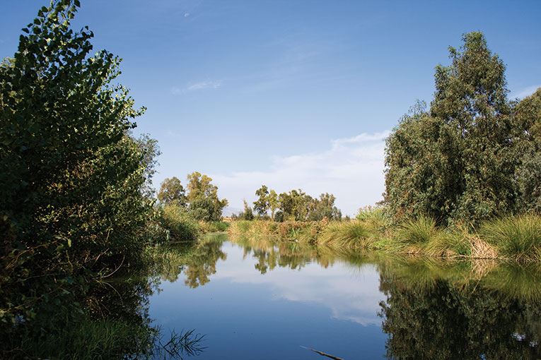
Human settlements tend to avoid flood areas, but not going too far away from them since it is precisely in those areas where agriculture is more productive. Thus, riverside lands, aside from having a good water regime, are deep and rich, fit for farming and grazing.
Maybe the most emblematic landscape of the Valencian riversides is the one provided by Xúquer riverbank area, a space structured by the river and with a great population distributed along more than forty towns. The alluvial plain that contributes to the formation of its relief is formed by the sedimentary input of the Xúquer River and some of its tributaries: the Magre, the Sallent and the Albaida.The floodplain is surrounded by mountains like the Cavalló mountain range (500-800 m) to the West and South, or the Corbera (625m), les Agulles (564m) and la Barraca (390) mountain ranges to the South-east. The Albufera is northwards and the Mediterranean Sea is to the East. Its surface is of 300km2 and it has a 0.6% gradient. Fertile lands count for three quarters of the surface of the region. An aerial look reminds us of a kind of green skin.
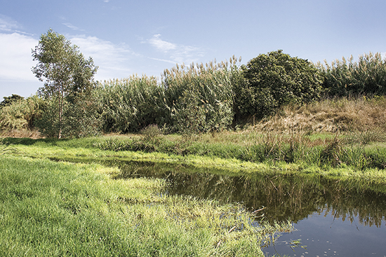
The River Magre. / © P. Prósper
«The most emblematic landscapes of the Valencian riverside is the one provided by Xúquer riverbank area, a space structured by the river and with greatly populated areas»
In the regions around the Riverside, the adaptation of people to the conditions of the environment involves protection from the risings of the river and the floods, which has meant the constant change of settlements in past centuries, diversion works and canalisations, protection of crops and towns by means of hills or strips of land and canes or the regulation of the risings with reservoirs in the nearby mountains and valleys. At the same time, obstacles for the easy flowing of waters have increased and therefore so have the risks. The energy and dynamics of the fluvial episodes characterise the man-influenced landscapes of these regions.
The privilege that means the coincidence of a fertile land, the presence of water and a usually good climate are the cause of the occupation and the agricultural exploitation, and these two are the real protagonists of the landscape of the Xúquer riverside area. Cereals, together with vegetables and white mulberry trees were the crops that were replaced by the orange groves by the end of the 19th century and ever since the monoculture plantation of citrus has not stopped. Traditional vegetable and rice crops, the later obtained by the reduction of the waters in the lake of Albufera by means of silting, are nowadays real survivors. The crisis of the culture of rice, generated during the 1940’s, favoured the use of other forms of exploitation, much more intensive and profitable, based on the growing of vegetables and fruits. The use of intensive agriculture, by means of the constant expansion of irrigation, without any kind of control, together with the proliferation of farms and grazing have been the way to earn a living for many families. Also, during the 1970’s stone fruits (peaches, apricots and prunes) prospered, which were less demanding than orange groves relating irrigation. Only in the last few years is the industry a few points over the agricultural sector, even though agriculture is the raw material and drives many industrial activities and services (machinery, canned food, juices, transportation, etc.). Industry, communication and settlements have meant a deep modification of the traditional production structure.
